Египет в космосе: национальное агентство и спутники, следящие за землёй, посевами и водой
Египетское космическое агентство было создано законом в 2018 году, но спутниковая история Египта началась раньше: от EgyptSat-1 до Tiba-1 и NExSat. Зачем аграрной стране космическая программа? Ответ — в её полях, воде и отдалённых деревнях.
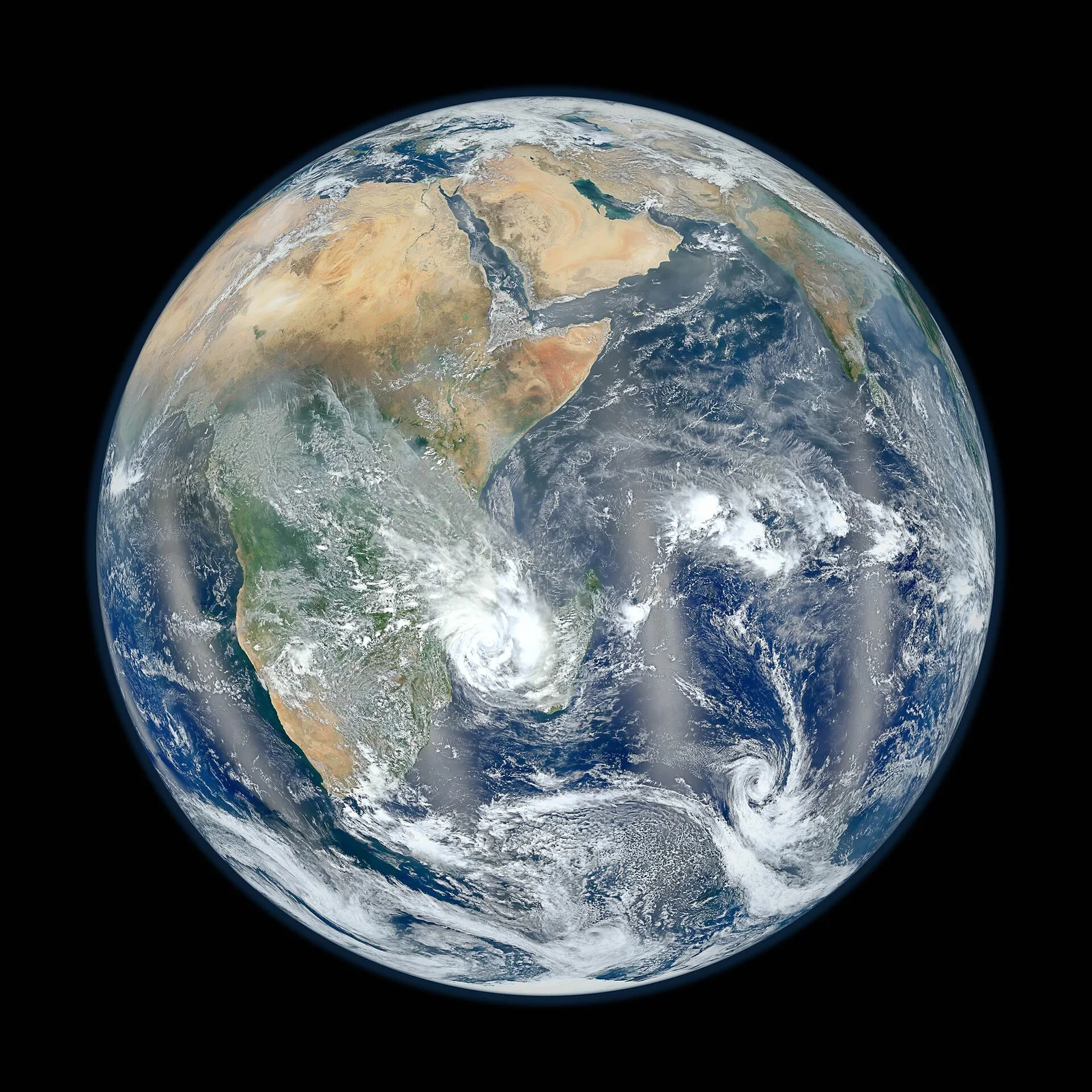
Космическая программа может показаться роскошью для страны, придавленной вполне земными заботами. Ответ Египта оказался прямо противоположным: спутники — рабочий инструмент именно для этих задач, от того, чтобы накормить людей, до управления водой и связи с отдалёнными поселениями. Египетское космическое агентство было создано законом 2018 года; его штаб-квартира расположена в «Космическом городе» в Новом Каире — комплексе с цехами для сборки и испытаний спутников. Его задача — укоренить космические технологии в стране и поставить их продукцию, прежде всего снимки и данные, на службу гражданским ведомствам государства.
История египетских спутников началась раньше самого агентства. «Египтсат-1», первый в стране спутник дистанционного зондирования Земли, был запущен в 2007 году: его разработали вместе с украинским конструкторским бюро «Южное», и в работе участвовали египетские инженеры. Он снимал земную поверхность в научных и гражданских целях, пока через несколько лет связь с ним не прервалась. Эта потеря стала ранним и жёстким уроком, но проект уже принёс долговременную выгоду: целое поколение египетских инженеров прошло полный цикл — от формулирования требований к спутнику до его постройки и эксплуатации.
Вторая попытка — «Египтсат-2», построенный вместе с российской промышленностью и запущенный в 2014 году, — тоже прослужила недолго. Его преемник «Египтсат-А» стартовал с космодрома Байконур в начале 2019 года, неся усовершенствованную съёмочную аппаратуру и обновлённую конструкцию. Закономерность, которую показывают эти три миссии, знакома любой стране, создававшей космический потенциал: первые спутники в той же мере готовят людей и обкатывают процедуры, в какой присылают снимки на Землю, а неудачи входят в стоимость обучения.
Затем настал черёд связи. Спутник «Тиба-1», выведенный на орбиту в ноябре 2019 года ракетой «Ариан-5» с космодрома Куру во Французской Гвиане, был построен для Египта европейскими производителями и обслуживает государственную и гражданскую связь. В отличие от спутника съёмки, который проходит над Египтом лишь считаные минуты за виток, спутник связи стоит на геостационарной орбите — на высоте около тридцати шести тысяч километров, следуя за вращением планеты, а потому кажется неподвижным в небе. С этой точки он способен передавать широкополосный интернет туда, где прокладка оптоволокна идёт медленно или экономически не оправдана.
Новейшая глава подчёркивает строительство внутри страны. «МисрСат-2», спутник наблюдения Земли, созданный в сотрудничестве с Китаем и запущенный в декабре 2023 года, собирали и испытывали при египетском участии на предприятиях внутри Египта. В начале 2024 года за ним последовал «НЭксСат-1» — исследовательский малый спутник, разработанный Египетским космическим агентством вместе с немецким партнёром. Объявленный курс неизменен: от покупки спутников к участию в их сборке, а затем к проектированию и интеграции на месте, потому что долгосрочная ценность космической программы заключена в людях и производственной базе, а не в каком-то отдельном аппарате.
Зачем всё это аграрной стране? Затем, что спутник видит то, чего не увидит ни одно наземное обследование. Мультиспектральные камеры фиксируют отражённый полями свет в диапазонах за пределами человеческого зрения, а здоровое растение отражает инфракрасные лучи иначе, чем растение угнетённое. При правильной обработке снимки превращаются в карты видов культур, засеянных площадей и состояния посевов по всей стране, обновляемые сезон за сезоном. Египетские ведомства использовали спутниковые снимки и для выявления самовольной застройки на сельскохозяйственных землях — задокументированное применение в стране, где в долине Нила на счету каждый феддан.
Вода — второе крупное направление. Египет в подавляющей степени зависит от Нила, и спутники следят за речной системой так, как не могут наземные станции: отслеживают, как растёт и сокращается зеркало озера Насер, фиксируют размыв берегов вдоль Дельты, картируют озёра и водно-болотные угодья, помогают планировать орошение, оценивая, сколько воды культуры расходуют в действительности. Ничто из этого не заменяет инженеров на местах, но даёт им обзорный взгляд, вмещающий всю систему в одну картину, и тем самым делает возможными планирование и раннее оповещение.
Спутники связи служат другой, но родственной цели. Довести связь до пустынного посёлка или нового города через космос бывает быстрее, чем тянуть наземные сети, — потому ёмкость «Тибы-1» направили на государственные услуги и на районы со слабым покрытием. Есть у Египта и более давняя, отдельная космическая традиция: «Найлсат», компания, чьи вещательные спутники с 1998 года несут в регион телевидение на арабском языке. Вещание и интернет — разные занятия, но вместе они показывают, как много в повседневной жизни неслышно проходит через орбиту.
Египет взял на себя и континентальную роль. Космический город в Каире принимает штаб-квартиру Африканского космического агентства — органа Африканского союза, координирующего космическую деятельность на континенте, и первого общеафриканского учреждения такого рода. Это размещение ставит Египет в центр африканского обсуждения того, как обмениваться спутниковыми данными для сельского хозяйства, климата и реагирования на бедствия, и открывает дорогу обучению инженеров из других африканских стран на египетских объектах. Космическое сотрудничество, как и речная дипломатия, — поле, на котором география и история дают Египту естественное место.
Честный способ судить о космической программе — не число пусков, а решения. Когда чиновник ирригации перераспределяет воду по картам водопотребления, когда мухафаза останавливает самовольную стройку, замеченную с орбиты, когда амбулатория в отдалённом районе проводит видеоконсультацию врача через спутниковый интернет, — программа работает. Спутники стареют и выходят из строя; остаётся способность людей формулировать требования, строить, эксплуатировать и, прежде всего, пользоваться. Вот та инфраструктура, которую Египет строит на самом деле, и она столь же реальна, как любая дорога.
Материалы по теме
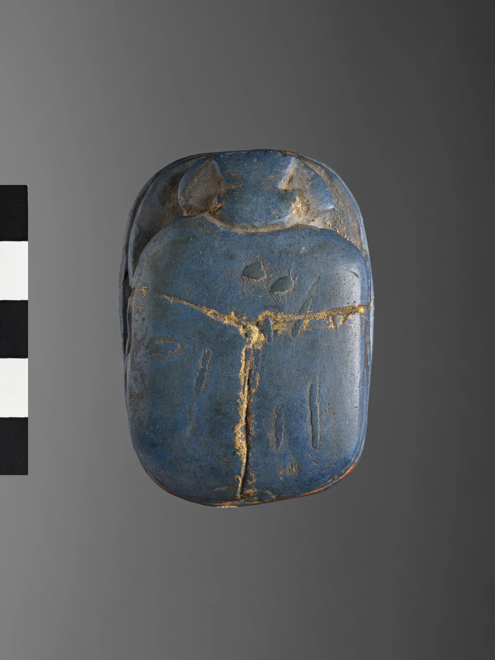
«Египетская синь»: первый в истории синтетический пигмент возвращается, выявляя отпечатки пальцев и подсвечивая клетки
Синий цвет, который египетские химики тысячи лет назад получали из песка, меди и извести, как выяснили учёные в 2013 году, распадается на нанопластинки, излучающие в инфракрасном диапазоне. С тех пор он стал порошком, выявляющим отпечатки пальцев в Австралии, и зондом, подсвечивающим эмбрионы мух и листья растений в Германии. История древнего материала с вполне современным свойством — и вопрос о наших сегодняшних лабораториях.
17 сентября 2026 г. · 7 мин. чтения
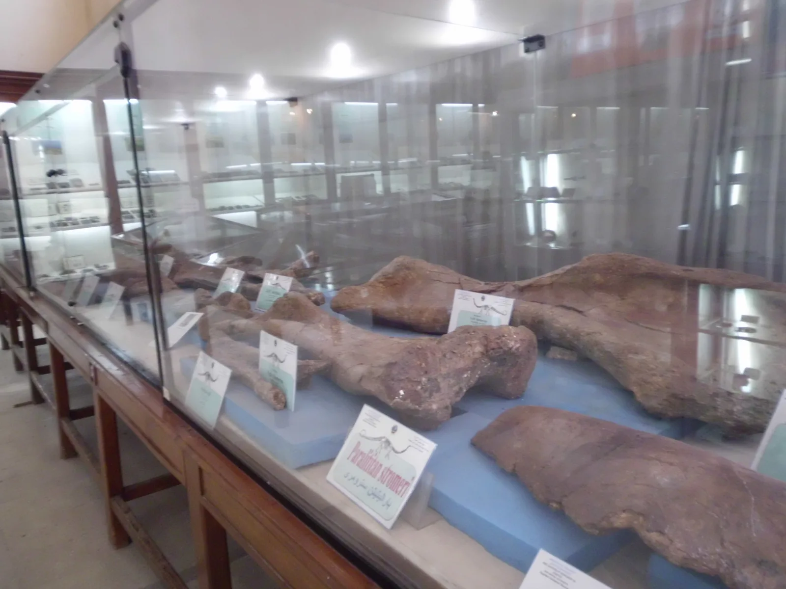
За восемьдесят миллионов лет до фараонов: динозавр из Мансуры и окаменелости оазисов, сгоревшие в войну
Египетские студенты Мансурского университета извлекли из скал оазиса Дахла кости мансуразавра — самого полного скелета динозавра позднего мелового периода, когда-либо найденного в Африке. Столетием раньше немецкий учёный вывез динозавров оазиса Бахария в Мюнхен, и война сожгла их. История архива Земли в египетской пустыне — и науки, которую ваш ребёнок может изучать здесь.
8 сентября 2026 г. · 7 мин. чтения
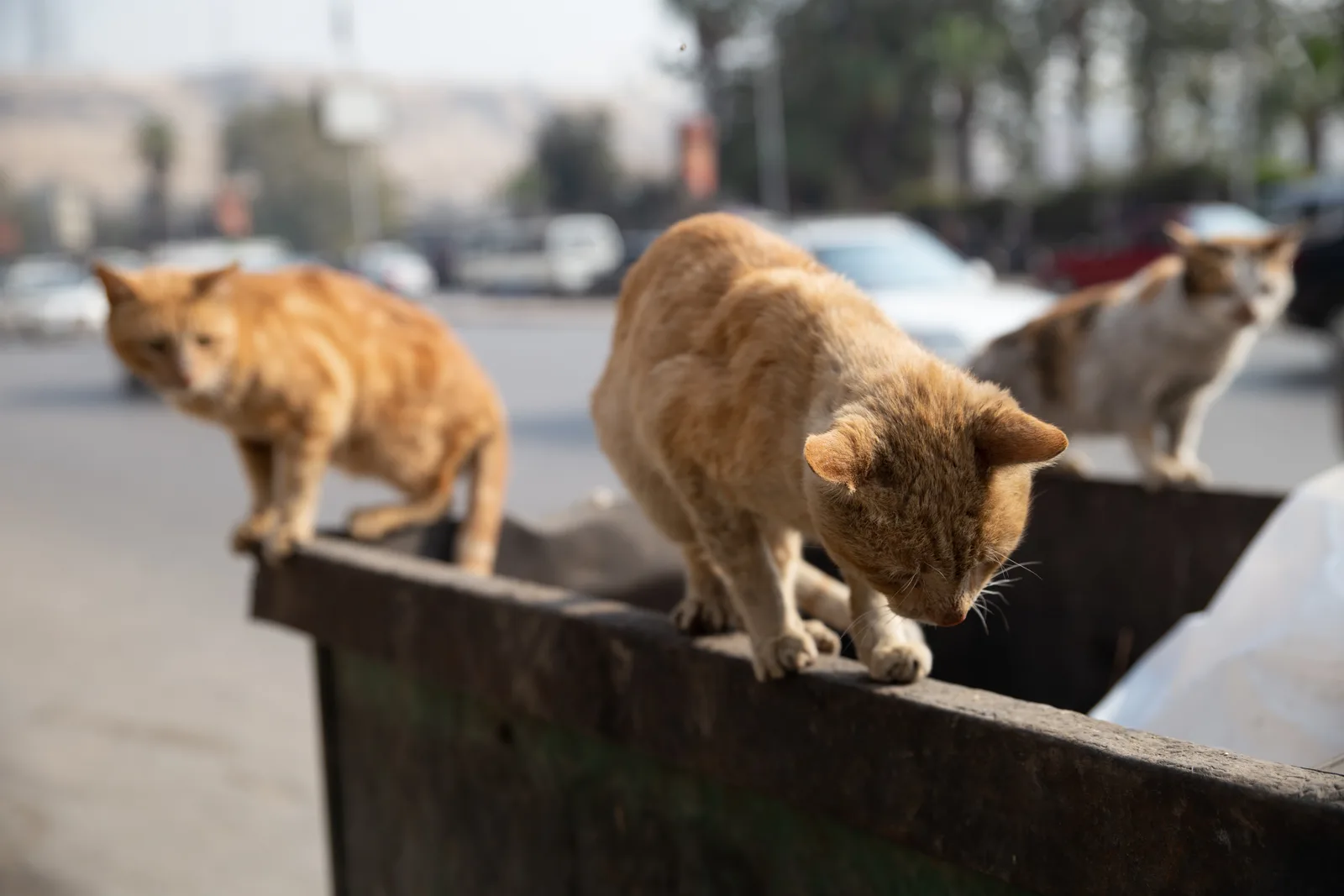
«Кеда галят» («Так неправильно»): жестокое обращение с животными — преступление по египетскому УК с 1937 года
Сосед раскладывает отравленные миски у школьной ограды, а хозяин повозки бьёт осла палкой по морде под непосильным грузом. Многие полагают, что «это всего лишь животное», а значит закон его не защищает. На самом деле статьи 355, 356 и 357 Уголовного кодекса Египта предусматривают наказание вплоть до тюрьмы за убийство, отравление и жестокое обращение с животными. Накануне Всемирного дня животных мы объясняем, что говорит закон.
3 октября 2026 г. · 6 мин. чтения