开罗地铁:数百万人如何在这座不眠之城的地下穿行
1987年,开罗地铁一号线开通,成为非洲和中东的第一条地铁。如今,它已是数百万埃及人日常出行的命脉。本文讲述这张地铁网络如何诞生、三条线路如何运转,以及雄心勃勃的扩建计划将驶向何方。
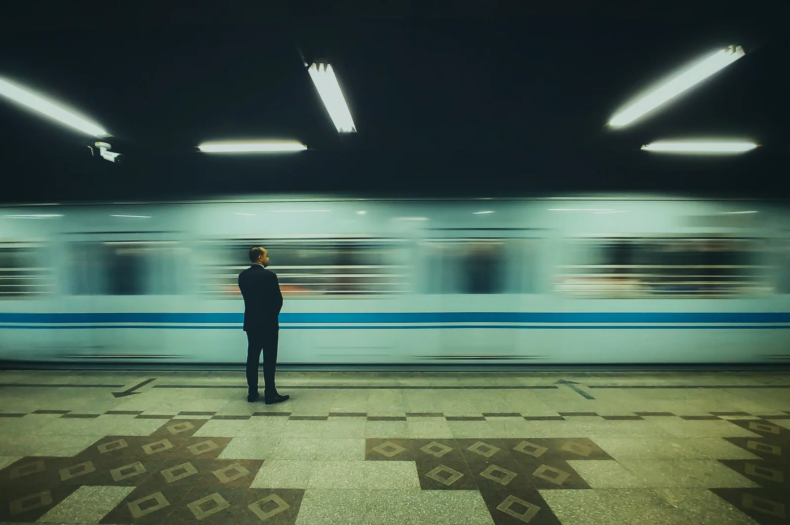
Beneath the traffic-choked streets of one of the world's most crowded capitals runs a network that has quietly reshaped daily life for two generations. When Line 1 of the Cairo Metro opened in 1987, it was the first underground railway in Africa and the Middle East. Nearly four decades later, the metro is the backbone of public transport in Greater Cairo, a region of more than twenty million people, and one of the busiest urban rail systems on the continent.
The idea was born of necessity. By the 1980s Cairo's roads had reached saturation, and planners turned to a solution that made use of what already existed: two suburban railway lines, one running south to Helwan and the other north-east to El Marg, were joined by a tunnel beneath the city centre. Built in cooperation with France, the resulting line stretches roughly forty-four kilometres and carries commuters through the heart of downtown without meeting a single traffic light.
Line 2 followed in the 1990s and delivered a new engineering milestone: the first rail crossing beneath the Nile. It links Shubra El-Kheima in the north with El Mounib in Giza, passing through downtown and serving Cairo University, one of the busiest destinations in the capital. Its construction relied on tunnel-boring machines working deep beneath one of the most densely built urban environments in the region.
Line 3, opened in stages from 2012 onwards, is the network's newest and longest artery. It runs from Adly Mansour in the east, where it meets the electric light rail heading to the new cities, across central Cairo to Kit Kat, where it splits into two branches: one towards Cairo University and the other towards Rod El-Farag. Along the way it brought the metro to districts such as Heliopolis, Abbassia, Zamalek and Imbaba.
The three lines meet at a handful of interchange stations that any regular rider knows by heart: Sadat beneath Tahrir Square and Al Shohadaa at Ramses connect Lines 1 and 2; Attaba links Lines 2 and 3; Gamal Abdel Nasser joins Lines 1 and 3; and Cairo University connects Line 2 with the southern branch of Line 3. At peak hours these hubs handle enormous flows of passengers moving between the north, south, east and west of the capital.
Ridership figures vary by source and season, but estimates have long put the number of daily journeys in the millions, making the Cairo Metro one of the most heavily used systems in Africa and the Arab world. For hundreds of thousands of workers and students, the metro is not one option among many but the only realistic way to cross the city on time and on a budget.
Fares are tiered by distance: the price of a ticket depends on how many stations a passenger travels, and rechargeable cards are available for frequent riders. Trains also reserve specific carriages for women, a feature introduced to make travel more comfortable in crowded conditions, while women remain free to ride any carriage they choose.
Expansion has accelerated in recent years. Line 4 is under construction with Japanese financing in the direction of Giza and the pyramids area, and further lines feature in the long-term transport scheme for Greater Cairo. Beyond the metro itself, the electric light rail linking Adly Mansour with the new urban communities east of Cairo entered service in recent years, and a monorail project is intended to connect the New Administrative Capital and 6th of October City with the existing network.
The economic case is straightforward. Studies of Cairo's congestion have long estimated its cost at billions of dollars a year in wasted fuel and lost time, and every passenger who travels underground means one less car or microbus on the roads. The metro also matters socially: its ticket remains modest compared with private transport and ride-hailing, keeping movement around the city within reach of lower-income households.
The system faces real challenges nonetheless. Trains on the older lines are packed at rush hour; maintaining ageing rolling stock, improving accessibility for passengers with disabilities and financing expansion are all pressing files; and there is a permanent balancing act between socially acceptable fares and operating costs, a debate that resurfaces whenever prices are adjusted.
For all the strains, the metro remains one of the most visible successes of Egyptian public infrastructure. What began as a single line in 1987 has become a daily habit for millions, and its map, redrawn every few years with new stations, is a quiet record of how the capital itself keeps growing.
相关报道

埃镑与菜篮子:市场上的通胀如何运作?埃及家庭如何应对?
为什么同样一篮子大米、食用油和蔬菜一季比一季贵——连本地种植的农产品也不例外?本文浅显解读通胀与埃镑币值如何从港口一路传导到市场摊位、补贴如何缓冲冲击,以及埃及家庭久经考验的应对之道。
2026年8月18日 · 5 分钟阅读

新行政首都:它是什么?政府如何搬迁?成本之争为何不休?
在开罗以东约45公里处,埃及正从零开始建造一座新的政务中枢。新行政首都究竟是什么?各部委的分阶段搬迁如何推进?它与开罗如何连接?它的造价又为何始终是一场有据可查的真实争论?
2026年8月18日 · 5 分钟阅读

从月球上能看到中国长城吗?宇航员早已给出答案
教科书里有个人们津津乐道的说法:中国长城是从月球上唯一可见的人造建筑。但亲身登上太空的宇航员——包括中国首位航天员本人——都给出了否定答案,光学原理也支持他们。至于从太空真正能看到什么——从城市灯火到熠熠生辉的尼罗河三角洲——那是一个更精彩的故事。结论:错误。
2026年8月18日 · 5 分钟阅读