Alexandria's 'Day of Terror': What Happened in July 365, and How Science Watches the Med
On November 5 the world marks World Tsunami Awareness Day. We look back to July 21, 365 CE, when the sea withdrew from Alexandria's shore and then returned, and ask: what does science say about that story today? Why is Mediterranean warning time measured in minutes, not hours? And how did Alexandria become the first 'Tsunami Ready' city in Egypt and Africa?
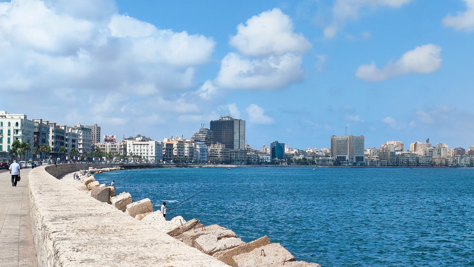
On a November evening along Alexandria's Corniche — the city's seafront promenade — a salt-laden wind blows, a boy stands counting the waves, clutching a cup of corn kernels, a classic Corniche snack, and on the pavement lingers a saying the sea's people repeat: 'The sea gives, and the sea takes.' For us, the sea means livelihood and leisure, and we rarely think of it as a source of danger. On November 5 the world marks World Tsunami Awareness Day, designated by the United Nations General Assembly in resolution 70/203 in December 2015. And we have an old story of our own.
The Roman historian Ammianus Marcellinus, a fourth-century eyewitness, wrote that on July 21, 365, the earth shook, then the sea withdrew until its bed lay bare and its creatures were left floundering in the mud, and people walked out onto ground that had just been deep water — before the water came back as a wall. He wrote that huge ships came to rest on the roofs of houses, 'as happened at Alexandria,' and that he himself saw, near Methone in southern Greece, a ship driven about two miles inland. He gave no precise death toll, though he said the returning water drowned 'many thousands of people.'
That day stayed in the city's memory for centuries, remembered as 'the Day of Terror.' And here is where our real question begins: what does a scientist do with a text sixteen centuries old? A narrative alone is not evidence, and an ancient historian had no instrument for measuring an earthquake — so researchers went looking for testimony that does not exaggerate: the testimony of rock and sediment.
In western Crete, fossilized shorelines were lifted by the earthquake some nine meters above today's sea level, and for years were read as the signature of a single quake exceeding magnitude 8.3. But a 2021 study in the journal AGU Advances, with the German Research Centre for Geosciences (GFZ) among its authors, concluded that the 365 earthquake was probably below magnitude 8, that its source was ordinary faults produced by crustal stretching, and that Crete's uplift may have accumulated over a sequence of earthquakes rather than in one jolt.
And Alexandria itself? In 2020 the researcher Stathis Stiros published two studies — one in Seismological Research Letters, titled 'Was Alexandria Destroyed in AD 365?,' the other in the Arabian Journal of Geosciences — concluding that large-scale destruction of the city is unlikely. A Paschal letter — an annual Easter epistle — by Athanasius, then head of the Alexandrian church, places the wave's source to the east and mentions no widespread damage. The oft-cited figures — five thousand dead, fifty thousand homes destroyed, and the derived claim of 'fifty thousand dead' — trace back to later texts that repeated and inflated Ammianus, not to a contemporary witness. The debate remains open as these lines are written, and that is science's own discipline: to doubt a beautiful story when it rests on no solid ground.
Yet the physics Ammianus described holds up perfectly. Why does the sea pull back first? Because a wave has a crest and a trough; if the trough reaches shore before the crest, the water withdraws and fish are left flailing in the mud — and that withdrawal is not a spectacle for photographs but the warning itself: the crest is minutes away. A tsunami is not a wind-driven wave; wind moves only the surface layer, while a tsunami moves the entire water column down to the seabed. Its wavelength runs to hundreds of kilometers, while out at sea its height is only tens of centimeters. Its speed grows with the depth of water beneath it: over four kilometers of water it approaches the speed of a jet aircraft, and in shallow water it slows down, piling its energy into height — and our coast off the Nile Delta sits on a shallow continental shelf that brakes the wave and lifts it higher.
The difference between the Mediterranean and the Pacific is not physics but distance. In the Pacific a wave may travel half a day or a full day before reaching the opposite shore; the Mediterranean is a narrow sea with sources close at hand, the most dangerous being the Hellenic Arc south of Greece, where the African Plate dives beneath the Aegean Sea — the likely generator of the 365 earthquake. According to a published estimate from the German Research Centre for Geosciences, an earthquake at the arc's eastern end would give Alexandria between 65 and 130 minutes; the margin can shrink further the closer the source: numerical modeling of the 1303 tsunami puts the first arrival on the Egyptian coast at around forty minutes. That is tens of minutes, not hours. The October 12, 1992 earthquake is a separate story; the sea has its own rules.
So who watches this sea? After the 2004 Indian Ocean disaster, UNESCO's Intergovernmental Oceanographic Commission established the Tsunami Warning and Mitigation System for the North-eastern Atlantic, the Mediterranean and connected seas (NEAMTWS), and Egypt is a member. Warning messages are issued by five accredited service centers, among them Greece, Italy, and Turkey. In Egypt, the accredited recipient of these messages is the National Institute of Oceanography and Fisheries — not the seismic-monitoring network — which hosts the 'National Tsunami Warning Focal Point' that relays the message to the relevant authorities. The system is tested in periodic regional drills, most recently NEAMWave23 on November 6-7, 2023, timed to coincide with the international day itself; the follow-up exercise, NEAMWave26, originally planned for March 2026, has been postponed with no new date announced as of this writing.
But a warning is useless if a city is not ready, which is why the 'Tsunami Ready' programme was created: twelve indicators across three categories. Assessment maps hazard zones and estimates the population within them; Preparedness includes approved evacuation maps, public signage, educational activities three times a year, and a community drill every two years; Response requires an approved plan and two round-the-clock systems, one to receive the warning and another to broadcast it to the public. Recognition is renewed every four years.
In 2024 Alexandria earned this recognition, becoming — according to the Intergovernmental Oceanographic Commission — the first coastal community in Egypt and in Africa to be designated 'Tsunami Ready,' under the CoastWAVE project; the recognition was presented at the governorate headquarters on May 25, while the region aims for twenty-five recognized communities by the end of 2026. In practice, this means Alexandria's hazard zones now have approved evacuation maps, signage, and people trained to use them — while the country's other coastal cities are still on the road to the same status.
The rarity of the event does not make its cost small. The United Nations says the world has seen fifty-eight deadly tsunamis over the past hundred years, killing more than 260,000 people, an average of 4,600 victims per event — the highest average death toll of any natural hazard. In Egypt, around seventeen million people — roughly 15 percent of the population — live in coastal areas. In 2022 UNESCO stated that the probability of a wave at least one meter high striking the Mediterranean within thirty years is close to certainty. A meter is not the wall of water from 365, but it is enough to sweep away a crowded beach or a small fishing harbor.
The knowledge that matters here fits in a minute. UNESCO teaches coastal residents three natural warning signs: a strong or prolonged earthquake felt on the shore; an unusual withdrawal of the sea that exposes the seabed; or a strange roar from the water, like a train. If you notice any of them, do not wait for confirmation: move away from the shore immediately, inland or uphill, and if that is not possible, climb to the upper floors of a sturdy building. Do not go down to watch or film, and do not return after the first wave — a tsunami is a train of waves that can last for hours, and the first is not necessarily the largest — wait for an official all-clear. At sea, the international guidance is for boats to head for deep water, not toward the harbor.
Then come back to the Corniche on a November evening. Nothing will have changed: the same wind, the same boy counting the waves. The sea that carried ships onto rooftops in Ammianus's account is the same sea that still feeds our people in Anfoushi, a historic Alexandria fishing quarter, and along the coast in Rosetta and Marsa Matrouh, and this article was not written to frighten anyone away from an evening walk. But telling your children the three signs over dinner — if the sea walks backward, you run forward — is the cheapest insurance you will ever buy, and it is what keeps the sea the friend we have always known it to be.
Related Stories
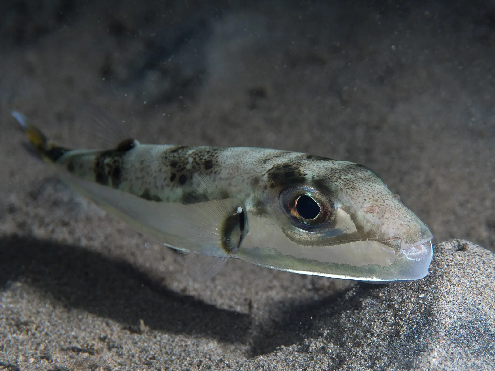
157 Years After the Suez Canal Opened: Hundreds of Species Reached the Mediterranean, and the “Rabbit Fish” Story
The canal opened to shipping 157 years ago this week, and it did more than link two ports: it joined two seas that had been separate for millions of years, starting a marine migration scientists call “Lessepsian.” The story ends at the fish counter: one species carries a poison that cooking does not destroy, while the popular name is also used for other fish that are caught, sold and eaten safely.
November 18, 2026 · 9 min read
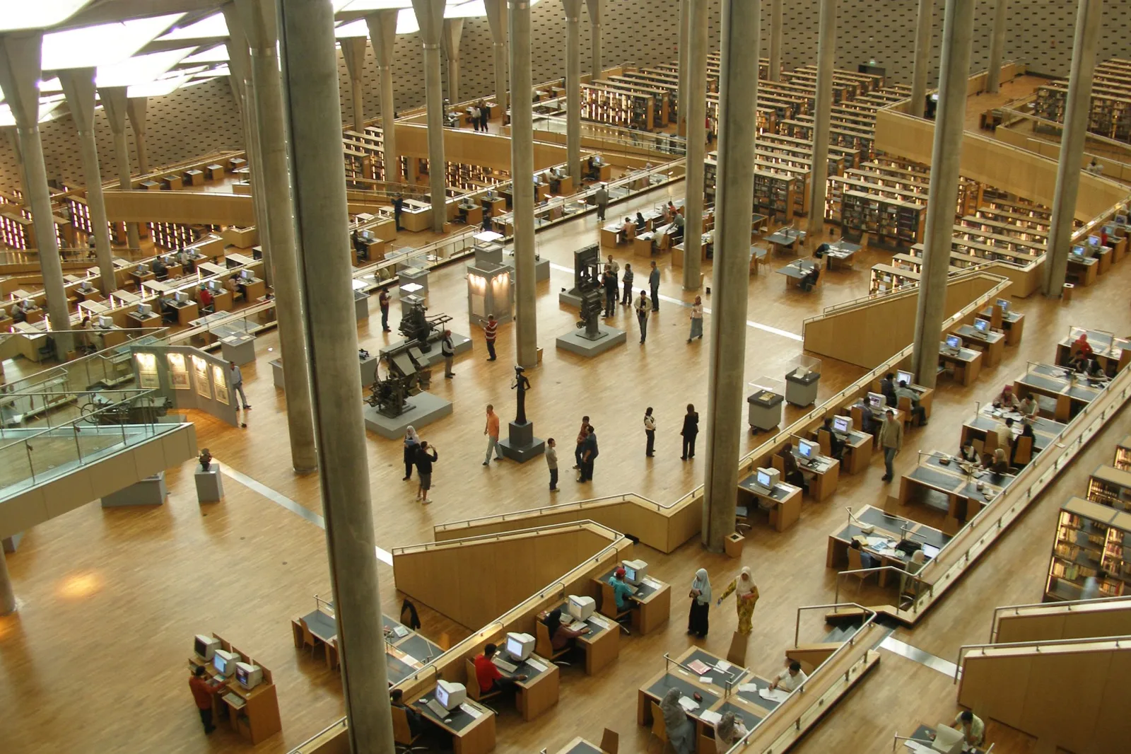
On World Science Day, how does a non-specialist read a scientific study, and who opens the door to one in Egypt?
A message arrives after midnight beginning “a new study confirms”, and anyone who tries to check it hits a page demanding tens of dollars. On World Science Day for Peace and Development, we explain the legal routes to studies in Egypt, what peer review means, and why one study of twenty people is not a final verdict.
November 10, 2026 · 9 min read
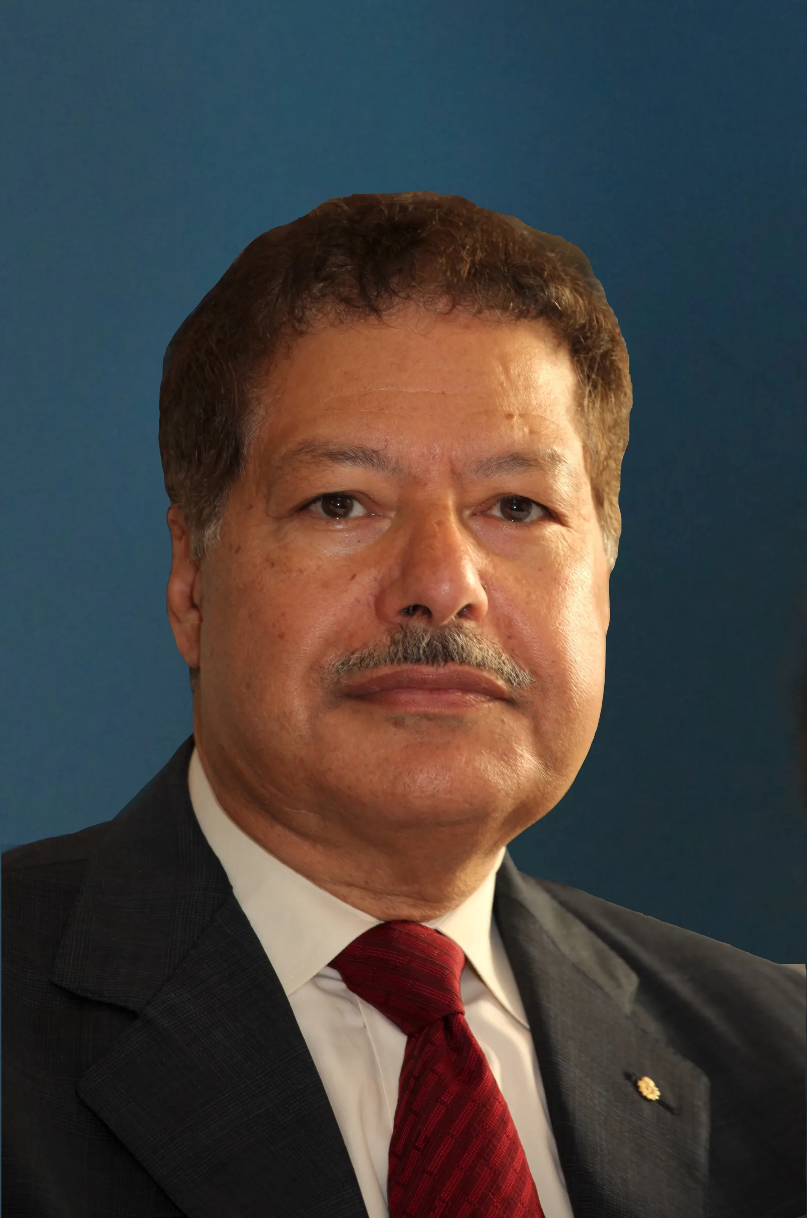
October 12, 1999: The Day a Son of Damanhur Watched Atoms Move — Ahmed Zewail and Femtochemistry
Twenty-seven years ago today, the Royal Swedish Academy of Sciences announced that Ahmed Zewail had won the Nobel Prize in Chemistry for "his studies of the transition states of chemical reactions using femtosecond spectroscopy." Here, in everyday language, we explain what a femtosecond is, how scientists managed to capture the instant a chemical bond breaks, and what Law 161 of 2012 and its 2019 amendment say about the city that bears his name.
October 12, 2026 · 8 min read