L'Égypte dans l'espace : une agence nationale et des satellites qui surveillent la terre, les cultures et l'eau
L'Agence spatiale égyptienne a été créée par une loi de 2018, mais l'histoire de l'Égypte et des satellites est plus ancienne : d'EgyptSat-1 à Tiba-1 et NExSat. Pourquoi un pays agricole a-t-il besoin d'un programme spatial ? La réponse est dans ses champs, son eau et ses villages reculés.
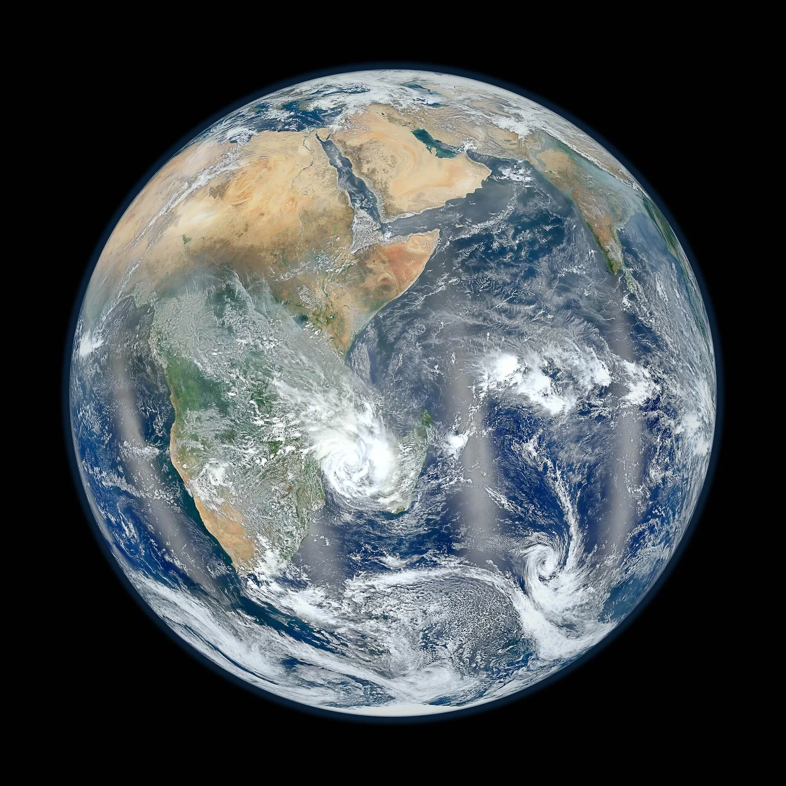
Un programme spatial peut passer pour un luxe dans un pays accablé de problèmes très terrestres. La réponse de l’Égypte a été exactement inverse : les satellites sont des outils de travail pour ces problèmes précisément, de l’alimentation de la population à la gestion de l’eau et au désenclavement des communautés isolées. L’Agence spatiale égyptienne a été créée par une loi promulguée en 2018 ; son siège occupe la « Cité spatiale » du Nouveau Caire, un complexe doté d’installations d’assemblage et d’essai de satellites. Sa mission est d’implanter la technologie spatiale dans le pays et de mettre ses produits, au premier rang desquels les images et les données, au service des administrations civiles de l’État.
L’histoire satellitaire de l’Égypte a commencé avant la naissance de l’agence. EgyptSat-1, premier satellite égyptien d’observation de la Terre, a été lancé en 2007 : il avait été développé avec le bureau d’études ukrainien Ioujnoïe, des ingénieurs égyptiens prenant part aux travaux. Il a photographié le sol à des fins scientifiques et civiles jusqu’à la perte du contact, quelques années plus tard. Cette perte fut une leçon précoce et rude, mais le projet avait déjà acquis un gain durable : une génération d’ingénieurs égyptiens avait parcouru le cycle complet de la définition, de la construction et de l’exploitation d’un satellite.
La deuxième tentative, EgyptSat-2, a été construite avec l’industrie russe et lancée en 2014, mais sa durée de vie opérationnelle fut elle aussi brève. Son successeur, EgyptSat-A, s’est élancé du cosmodrome de Baïkonour au début de 2019, emportant des équipements d’imagerie améliorés et une conception révisée. Le schéma que dessinent ces trois missions est familier à tous les pays qui se sont dotés d’une capacité spatiale : les premiers satellites servent autant à former des hommes et à éprouver des procédures qu’à renvoyer des images vers la Terre, et les revers font partie du prix de l’apprentissage.
Vinrent ensuite les télécommunications. Tiba-1, lancé en novembre 2019 par une fusée Ariane 5 depuis Kourou, en Guyane française, a été construit pour l’Égypte par des industriels européens et dessert les communications gouvernementales et civiles. Contrairement au satellite d’imagerie, qui ne survole l’Égypte que quelques minutes à chaque révolution, le satellite de télécommunications se tient en orbite géostationnaire, à environ trente-six mille kilomètres d’altitude : il accompagne la rotation de la planète et paraît donc immobile dans le ciel. De ce poste, il peut acheminer l’internet à haut débit là où poser de la fibre optique serait lent ou économiquement injustifiable.
Le chapitre le plus récent met l’accent sur la construction sur place. MisrSat-2, satellite d’observation de la Terre développé en coopération avec la Chine et lancé en décembre 2023, a été assemblé et testé avec une participation égyptienne, dans des installations situées en Égypte. Début 2024 a suivi NExSat-1, microsatellite de recherche mis au point par l’Agence spatiale égyptienne avec un partenaire allemand. Le cap affiché ne varie pas : passer de l’achat de satellites à la participation à leur construction, puis à leur conception et à leur intégration sur le sol national, car la valeur durable d’un programme spatial tient aux hommes et aux installations, non à tel ou tel engin.
Pourquoi un pays agricole a-t-il besoin de tout cela ? Parce qu’un satellite voit ce qu’aucune enquête de terrain ne peut voir. Les caméras multispectrales enregistrent la lumière réfléchie par les champs dans des bandes qui échappent à l’œil humain, et une plante saine ne renvoie pas l’infrarouge de la même manière qu’une plante en état de stress. Correctement traitées, ces images deviennent des cartes du type de culture, des surfaces cultivées et de l’état des plants à l’échelle du pays entier, actualisées saison après saison. Les autorités égyptiennes ont également utilisé l’imagerie satellitaire pour détecter les constructions illégales sur les terres agricoles : un usage documenté dans un pays où chaque feddan de la vallée du Nil compte.
L’eau est le deuxième grand usage. L’Égypte dépend très majoritairement du Nil, et les satellites surveillent le système fluvial d’une manière que les stations au sol ne permettent pas : suivre la superficie du lac Nasser au fil de ses hausses et de ses baisses, observer l’érosion du littoral tout au long du Delta, cartographier lacs et zones humides, appuyer la planification de l’irrigation en estimant ce que les cultures consomment réellement en eau. Rien de tout cela ne remplace les ingénieurs sur le terrain ; mais cela leur offre une vue d’ensemble, le système entier dans un seul cadre, qui rend possibles la planification et l’alerte précoce.
Les satellites de télécommunications remplissent une fonction différente, mais liée. Raccorder par l’espace une agglomération du désert ou une ville nouvelle peut aller plus vite que d’étendre les réseaux terrestres : c’est pourquoi la capacité de Tiba-1 a été orientée vers les services publics et les zones mal couvertes. L’Égypte possède par ailleurs une tradition spatiale plus ancienne et distincte : NileSat, la société dont les satellites de diffusion acheminent la télévision en langue arabe dans toute la région depuis 1998. La diffusion et l’internet sont deux métiers différents, mais ensemble ils montrent combien de la vie quotidienne transite silencieusement par l’orbite.
L’Égypte a aussi endossé un rôle continental. La Cité spatiale du Caire accueille le siège de l’Agence spatiale africaine, l’organe de l’Union africaine chargé de coordonner l’activité spatiale du continent, première institution panafricaine de ce type. Cette implantation place l’Égypte au cœur des discussions africaines sur le partage des données satellitaires pour l’agriculture, le climat et la réponse aux catastrophes, et ouvre la voie à la formation d’ingénieurs venus d’autres pays africains dans les installations égyptiennes. La coopération spatiale, comme la diplomatie des fleuves, est un domaine où la géographie et l’histoire donnent à l’Égypte un siège naturel.
La manière honnête de juger un programme spatial n’est pas le nombre de lancements, mais les décisions. Quand un responsable de l’irrigation redistribue l’eau à partir de cartes de consommation, quand un gouvernorat arrête une construction illégale repérée depuis l’orbite, quand un dispensaire d’une région reculée tient une consultation médicale par visioconférence grâce à l’internet par satellite, c’est le programme qui fonctionne. Les satellites vieillissent et tombent en panne ; la capacité qui demeure, ce sont des hommes capables de définir, de construire, d’exploiter et, avant tout, d’utiliser. Voilà l’infrastructure que l’Égypte construit réellement, et elle est aussi réelle que n’importe quelle route.
À lire aussi
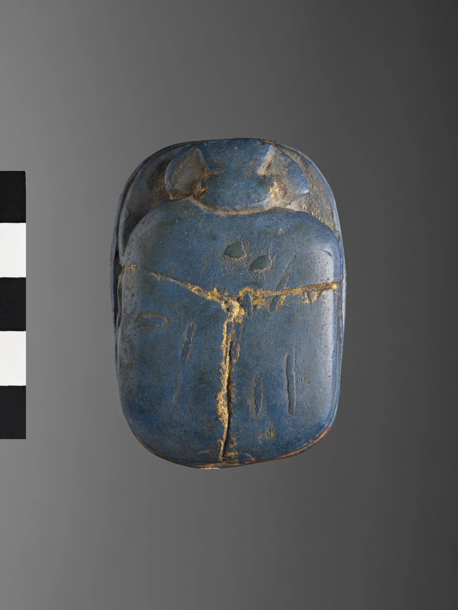
« Bleu égyptien » : le premier pigment synthétique de l'histoire revient révéler les empreintes et éclairer les cellules
Un bleu que des chimistes égyptiens tiraient du sable, du cuivre et de la chaux il y a des millénaires se délite, a-t-on découvert en 2013, en feuillets nanométriques émettant dans l'infrarouge. Il révèle depuis les empreintes digitales en Australie et éclaire embryons de mouche et feuilles de plantes en Allemagne. L'histoire d'un matériau antique doté d'une propriété très moderne, et une question sur nos laboratoires d'aujourd'hui.
17 septembre 2026 · 7 min de lecture
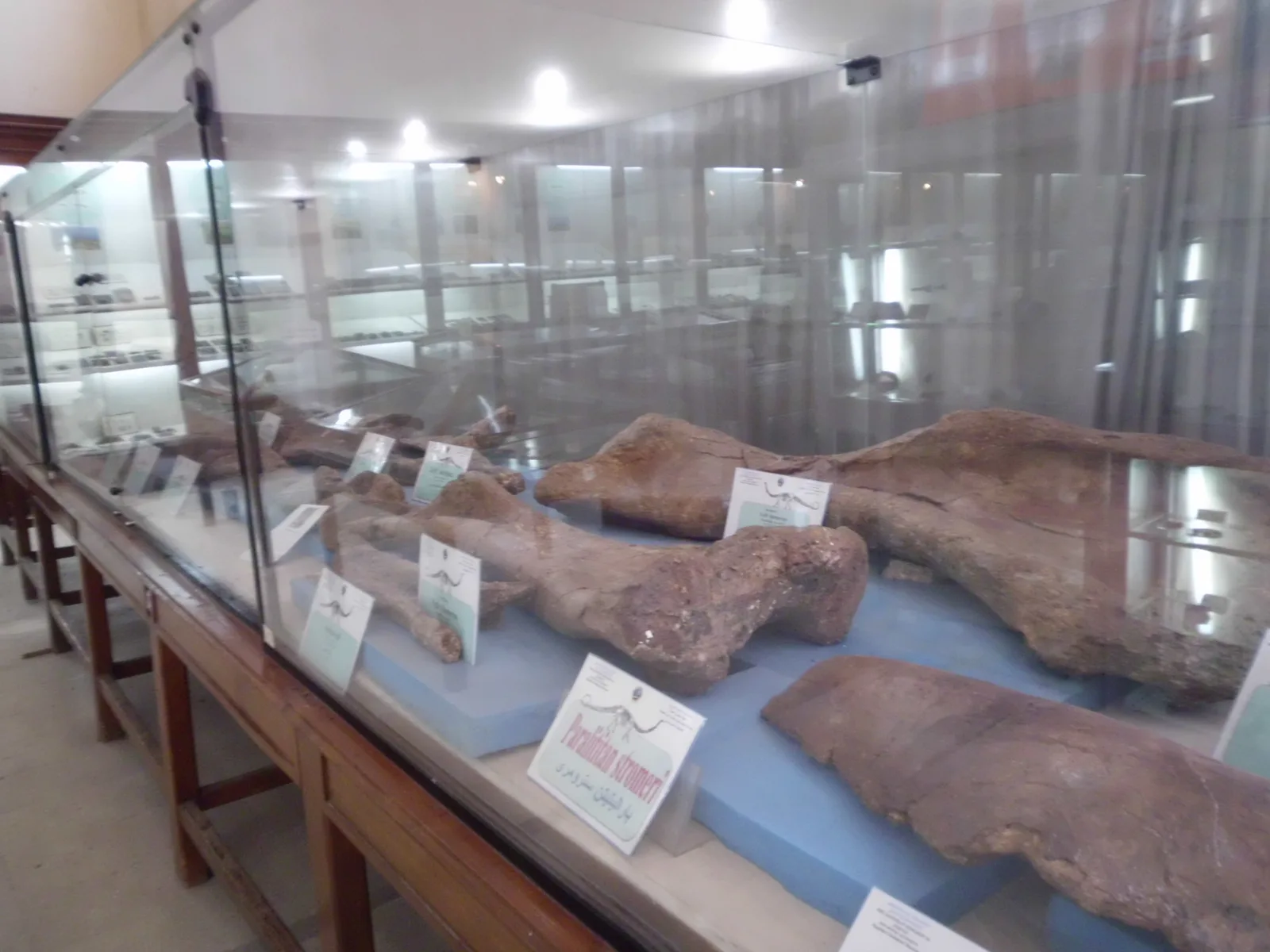
Quatre-vingts millions d'années avant les pharaons : le dinosaure de Mansoura et les fossiles que la guerre a brûlés
Des étudiants égyptiens de l'université de Mansoura ont extrait des roches de l'oasis de Dakhla les ossements de Mansourasaurus, le squelette de dinosaure du Crétacé supérieur le plus complet jamais trouvé en Afrique. Un siècle plus tôt, un savant allemand avait déposé à Munich les dinosaures de Bahariya, que la guerre a brûlés. L'histoire des archives de la Terre dans le désert d'Égypte, et d'une science que votre enfant peut étudier ici.
8 septembre 2026 · 7 min de lecture
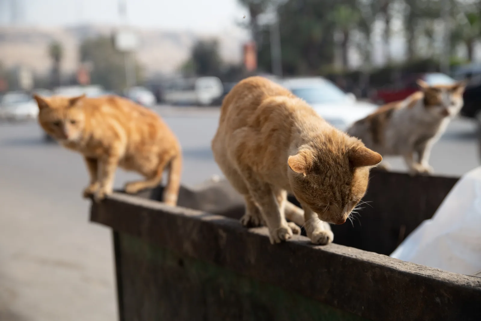
« Keda ghalat » (« Ça, c'est mal ») : maltraiter un animal est un crime au regard du Code pénal égyptien depuis 1937
Un voisin dépose des gamelles empoisonnées près du mur de l'école ; un charretier frappe son âne au visage sous une charge trop lourde. Beaucoup croient qu'« un animal » n'est protégé par aucune loi. En réalité, les articles 355, 356 et 357 du Code pénal sanctionnent tuer, empoisonner et maltraiter un animal, jusqu'à l'emprisonnement. À la veille de la Journée mondiale des animaux, voici ce que dit la loi.
3 octobre 2026 · 6 min de lecture